Drone Equipment

Drones, or officially UAVs (Unmanned Aerial Vehicles), come in a wide range of sizes and capabilities. From toys to military weaponry, technology advances continue to give these handy vehicles the ability to do more and more. EDO is equipped with state of the art drone technology to capture and process hi-res photos, videos, 3D models and orthomosaic maps for our clients.

UNMANNED AERIAL VEHICLESOur Fleet

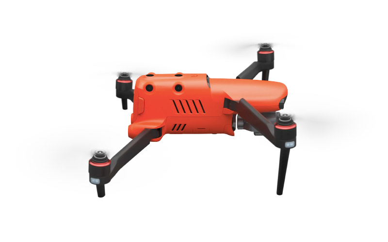
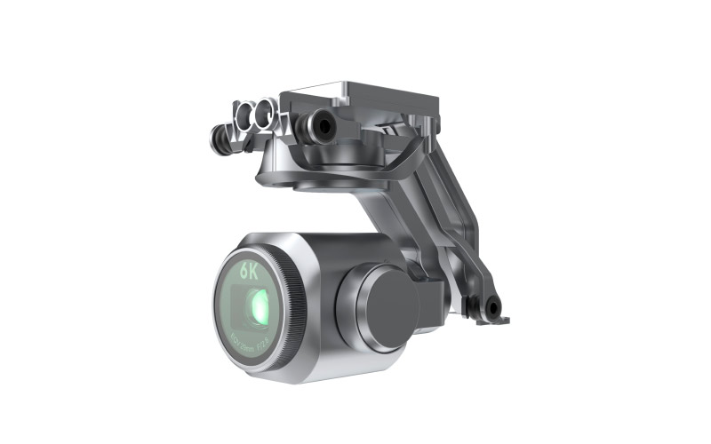
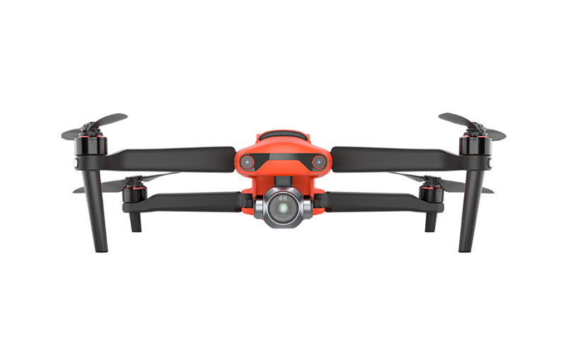
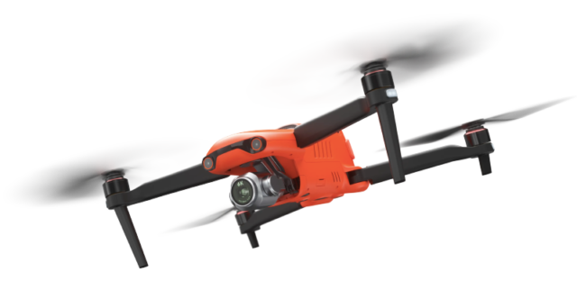
Our workhorse drone is the Autel Evo II Pro 6K. This drone is a beast and offers tremendous imaging capabilities coupled with a sturdy build, long lasting batteries, Extended range and excellent flight control.
  • Autel EVO II Pro 6K
  • DJI Mavic Mini

Image Sensor 1″ CMOS
Pixels 20MP
Still Photography Modes Single Shot

Burst shooing: 3/5 frames

Automatic Exposure Bracketing (AEB):

3/5 bracketed frames at 0.7 EV Bias

Timelapse:

     JPG:2s/5s/7s/10s/20s/30s/60s

     DNG:5s/7s/10s/20s/30s/60s

HyperLight:support (under 4K JPEG format)

Long Exposure: Max 8s

HDR imaging: (under 4K JPEG)

Still Photography Resolution 8000*6000 (4:3)

7680*4320 (16:9)

4000*3000 (4:3)

3840*2160 (16:9)

Video Format MP4 / MOV (MPEG-4 AVC/H.264, HEVC/H.265)
Video Resolution 6K 5472*3076 p30/p25/p24

4K 3840*2160 p60/p50/p48/p30/p25/p24

2.7K 2720*1528 p120/p60/p50/p48/p30/p25/p24

1080p 1920*1080 p120/p60/p50/p48/p30/p25/p24

Max Bitrate 120Mbps

Aircraft

Takeoff Weight 2.6 lbs (1191 g)
Max Takeoff Weight 4.4 lbs (1999 g)
Max Flight Time (standard) 40 min
Max Level Flight Speed  45 mph (20 m/s) 
Max Wind Resistance Force 8 wind

We also fly the small but mighty DJI Mavic Mini.  Weighing only 249 grams, this drone is amazing. It packs a serious punch for it’s size.  We use this drone for lower resolution scouting missions and in areas where its’ small profile is warranted.

Image Sensor 1/2.3” CMOS
Pixels 12 MP
Still Photography Modes Single shot
Interval: 2/3/5/7/10/15/20/30/60 s
Still Photography Resolution 4:3: 4000×3000
16:9: 4000×2250
Video Format MP4 (H.264/MPEG-4 AVC)
Video Resolution 2.7 K: 2720×1530 25/30 p
FHD: 1920×1080 25/30/50/60 p
Max Bitrate 40 Mbps

Aircraft

Takeoff Weight 249 g
Max Flight Time (standard) 30 minutes (measured while flying at 14 kph in windless conditions)
Max Level Flight Speed  13 m/s (S Mode)
8 m/s (P Mode)
4 m/s (C Mode)
Max Wind Resistance 8 m/s (Scale 4)
https://elevatedroneops.com/wp-content/uploads/2021/01/equip-evo-side.jpg
https://elevatedroneops.com/wp-content/uploads/2021/01/equip-evo-gimbal.jpg
https://elevatedroneops.com/wp-content/uploads/2021/01/equip-evo-front.jpg

AERIAL DRONE FLIGHT SERVICESGet Ready For Your Flight

STEP 1
The first step is to request a FREE quote from us. You can either call us directly or use our online form. You'll need to provide a few general details about what type of drone imagery you need, the location of the subject and when your deliverables are needed.
STEP 2
After receiving your request, we'll go through a pre-flight planning process to review technical aspects of your requested flight. This includes reviewing any airspace restrictions, site logistics, flight time needs and travel requirements. We will get back to you to discuss any further details and present our cost.
STEP 3
From there, we will schedule a flight day and time with you. We also ask for a deposit of 50% of the proposed cost to confirm your flight. Flight dates and times are subject to postponement based on external variables including weather and/or FAA flight restrictions that can arise. See our full refund Cancellation Policy for details.
https://elevatedroneops.com/wp-content/uploads/2020/11/elevate-drone-ops-header-logo-color.png
Elevate Drone Ops provides FAA Part 107 Certified sUAS Drone services in Southern California. Dedicated to safety and fully insured, we produce and deliver aerial imaging and data assets to clients looking to take advantage of the unique visualization benefits of modern drone technology.

CONTACT

Phone:
+1 818.625.9528

eMail:
John@ElevateDroneOps.com

Address:
Calabasas, CA 91302

Copyright © 2023 Elevate Drone Ops - All Rights Reserved